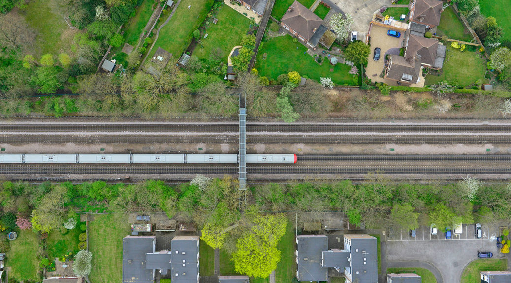
Our aerial surveys and mapping services are commissioned for a variety of reasons. There are many applications for which the aerial surveys can be used.
Our surveys incorporate the latest technology including Light Detection and Ranging (LiDAR), UAV, Helicopter and Drone systems.


