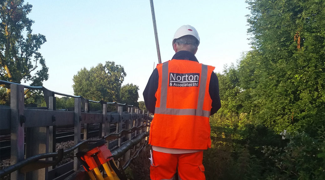

The GIS (geographic information system) is used to collect and map assets and data. This is a technique frequently used by us for our clients, including London Underground. With the information provided by us, clients have used the findings of our surveys to contribute to their cyclical inspections, analysis and reporting process.